Urban Sky has just closed a funding round to advance its technology. The company’s cutting-edge technology portfolio encompasses advanced high-altitude balloon systems, specialized stratospheric equipment, proprietary control software, and sophisticated AI-based forecasting and autonomous navigation systems. This integrated platform enables them to conduct high-resolution, continuous surveillance across extensive regions, serving commercial needs such as real-time wildfire detection. Their technology provides military and allied defense clients with a deployable platform that functions similarly to a personal satellite, delivering tactical advantages through sustained, long-range access to stratospheric altitudes for communications and intelligence operations. Looking ahead, the organization aims to develop groundbreaking technologies that will establish the world’s first commercial network of enduring stratospheric balloons, supporting applications ranging from search and rescue operations to environmental monitoring and disaster response efforts.
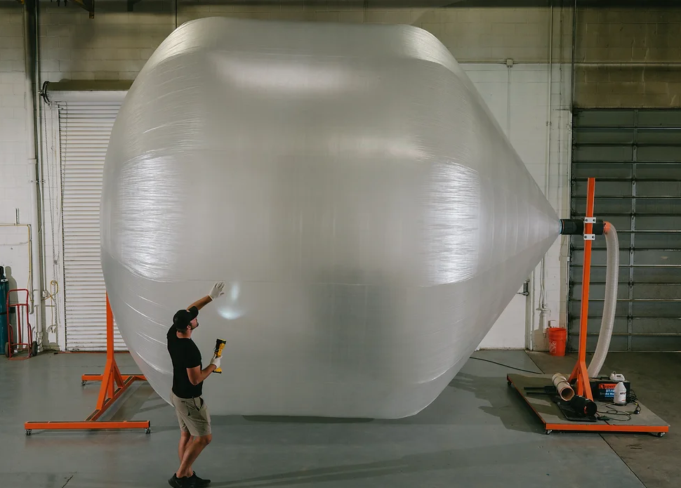
Since its establishment in 2019, the company has successfully brought its flagship product to market – the Microballoon™ (mHAB), an agile stratospheric platform designed for quick deployment, navigation, and extended operation. These specialized balloons maintain functionality at elevations exceeding 60,000 feet for several days, creating new opportunities to utilize the stratosphere – a previously underexploited region between conventional aircraft and satellite altitudes that holds significant potential for both military and commercial uses.
The company has established a diverse and expanding customer base, providing services to commercial enterprises, civilian government agencies, and U.S. military branches. Their client portfolio includes NASA, oil and gas companies, wildfire monitoring organizations, the U.S. Army, and the U.S. Air Force.
A notable recent achievement is the company’s “Hot Spot” system, developed collaboratively with NASA and the Air Force. This platform integrates long-wave infrared (LWIR) imaging technology with satellite connectivity to provide continuous, detailed wildfire surveillance while avoiding interference with firefighting aircraft operating at lower altitudes. The organization recently demonstrated the system’s capabilities during the Palisades Fire in California, where it generated thermal maps offering infrared data resolution 100 times more detailed than public satellite sources such as MODIS and VIIRS.

